

_(1)1.jpg)
Sakib Mahmud
Research Intern
Sakib Mhamud Apu is a geospatial researcher specializing in GIS, remote sensing, and machine learning for climate risk assessment. He works extensively with ArcGIS, ArcPy, and Google Earth Engine to automate spatial workflows and build predictive models for flood, landslide, and urban heat risk, combining Python-based machine learning with satellite and UAV imagery analysis. His work also integrates community-based field research with spatial analytics, grounding his risk models in on-the-ground data from the communities they aim to serve. He holds an M.Sc. (Thesis) and B.Sc. in Geography and Environment from Jagannath University, Dhaka, and was awarded the National Science and Technology (NST) Fellowship for 2025–2026.
Profile View Resume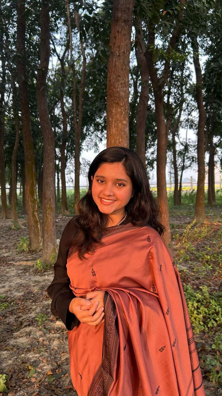
Farjana Fahan
Research Intern
She is a Master’s student in Geography and Environment in Jagannath University with a strong academic and research focus on vulnerability and risk assessment and resilience in the coastal region of Bangladesh. Her work combines GIS and remote sensing techniques with qualitative quantitative research approaches to analyze climate-induced hazards and its socio-environmental impacts on vulnerable coastal communities. She is deeply enthusiastic about research and demonstrates the ability to work effectively in both independent and team-based research environments. With a solid background in spatial analysis, field-based investigation, and data integration, she is motivated to contribute to evidence-based climate adaptation strategies, sustainable coastal planning, and environmental decision-making. She is particularly interested in interdisciplinary collaboration, knowledge-sharing, and research that supports resilience-building.
Profile View Resume